Our Favorite Western NC Mountain Hikes | Asheville Elevated Living
This was our first hike with the boys in Pisgah after we moved to Asheville in 2013, and it's still one of our favorites. Sandy and I went back for one last look at the fall colors this year. The creek, the hardwoods and the waterfall stops are good reasons to leave a little extra time.
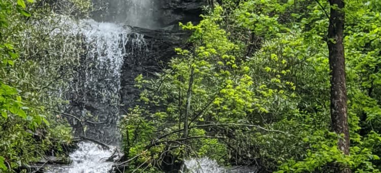
Hike at a glance
Avery Creek Road, Pisgah National Forest near Brevard
7 miles | 1,010 feet of gain | Moderate loop | 3 to 3.5 hours
What the hike is like
Use the saved Avery Creek Road track for the seven-mile outing. It brings together the Avery Creek, Clawhammer Cove and Buckhorn Gap trail network, with the Twin Falls spur leading into a hollow where you can see two neighboring cascades. The Clawhammer side adds wet footing, forest climbing and a quieter stretch along the creek.
The Forest Service lists Clawhammer Cove as a 1.5-mile trail segment. The saved hike strings it together with other trails and a forest road, so use the route map at junctions and when leaving the falls.
Before you go
Parking at the smaller pullouts along Avery Creek Road is limited. Download the map, allow time for stream crossings and check road access after heavy rain. Take photos from stable ground and stay off slippery rock at the base of the falls.
Along the trail
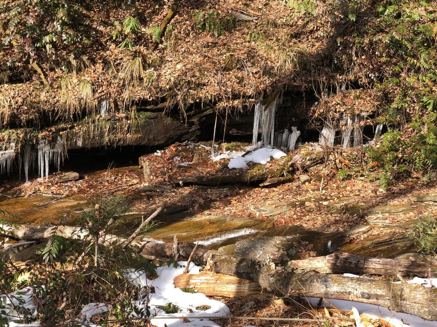
Photos via AllTrails and its hiking community.
Play the short photo slideshow
Open AllTrails for the interactive Photo Tour. Select Photo tour near the main photo. AllTrails may prompt you to sign in.
3D trail preview
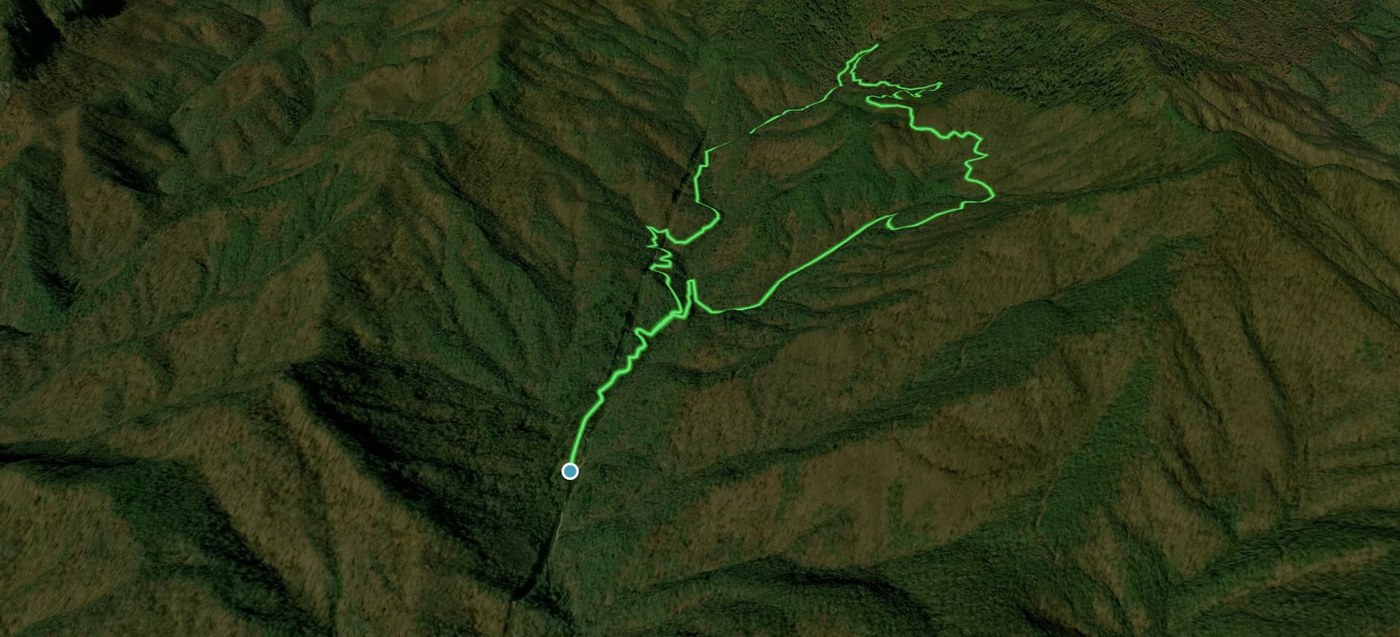
Open the trail on AllTrails and select Preview to play the 3D flyover. Access may depend on your AllTrails account.
Trail resources
- Open the route, map and community photo gallery on AllTrails
- Trail guide and access information
- Additional access or route information
Find more hikes in our Asheville Elevated Living AllTrails collection.
Explore Our Favorite Western NC Mountain Hikes
Scan the QR code or tap it to open the full Asheville Elevated Living collection on AllTrails.