Our Favorite Western NC Mountain Hikes | Asheville Elevated Living
Graveyard Fields has the feel of an open mountain valley, with low shrubs, creekside walking and long looks at the surrounding ridges. The saved route takes you through that valley to Upper Falls.
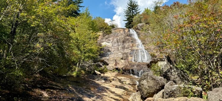
Hike at a glance
Graveyard Fields, Blue Ridge Parkway milepost 418.8
3.3 miles | 423 feet of gain | Moderate loop
What the hike is like
Start at the Graveyard Fields Overlook at milepost 418.8. Follow the signs and your map for Upper Falls, paying particular attention where the loop and waterfall paths split. Expect uneven footing, muddy stretches and creek crossings as you get farther from the overlook.
Second Falls, also called Lower Falls, is a different stop. Check your map before following a waterfall sign, especially if you only have time for one. The modest gain on the Upper Falls route can make the hike look easier on paper than it feels after rain.
Before you go
Parking fills quickly during peak fall color and on weekends. Bring shoes with good traction, save the route offline and skip crossings when the water is too high to cross safely. Check the Parkway road status before you go.
Along the trail
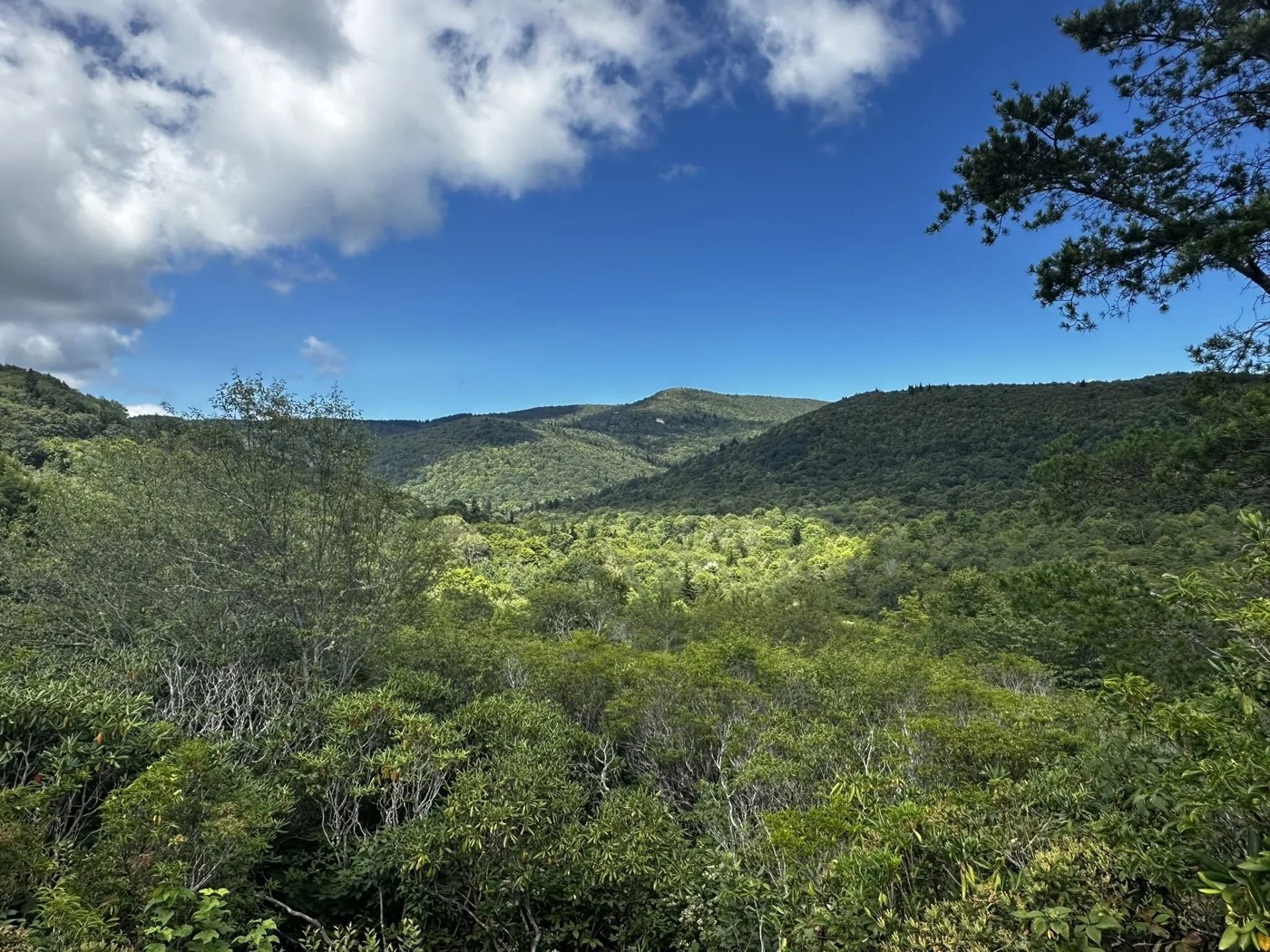

Photos via AllTrails and its hiking community.
Play the short photo slideshow
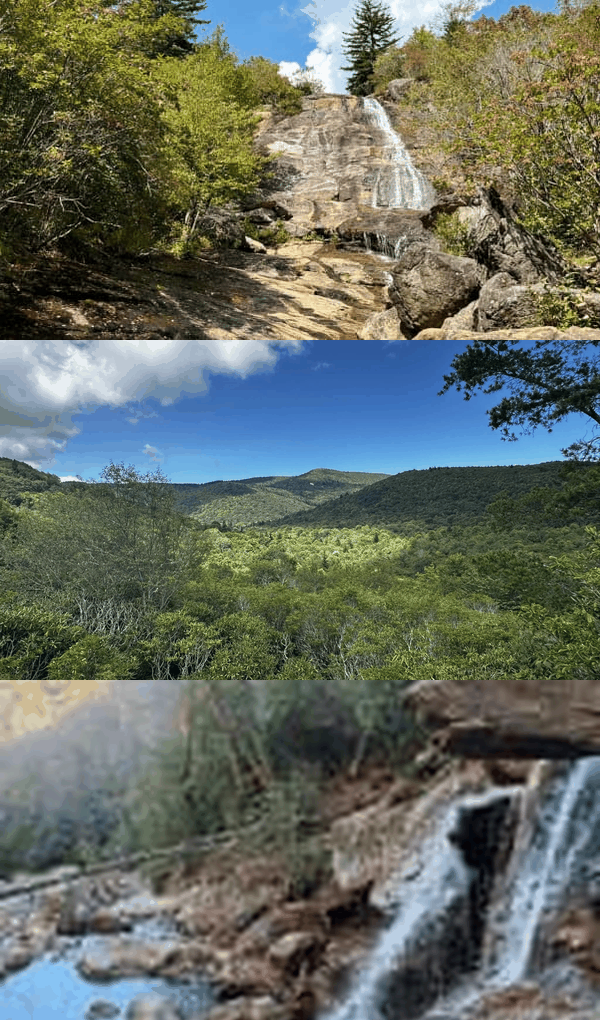
Open AllTrails for the interactive Photo Tour. Select Photo tour near the main photo. AllTrails may prompt you to sign in.
3D trail preview
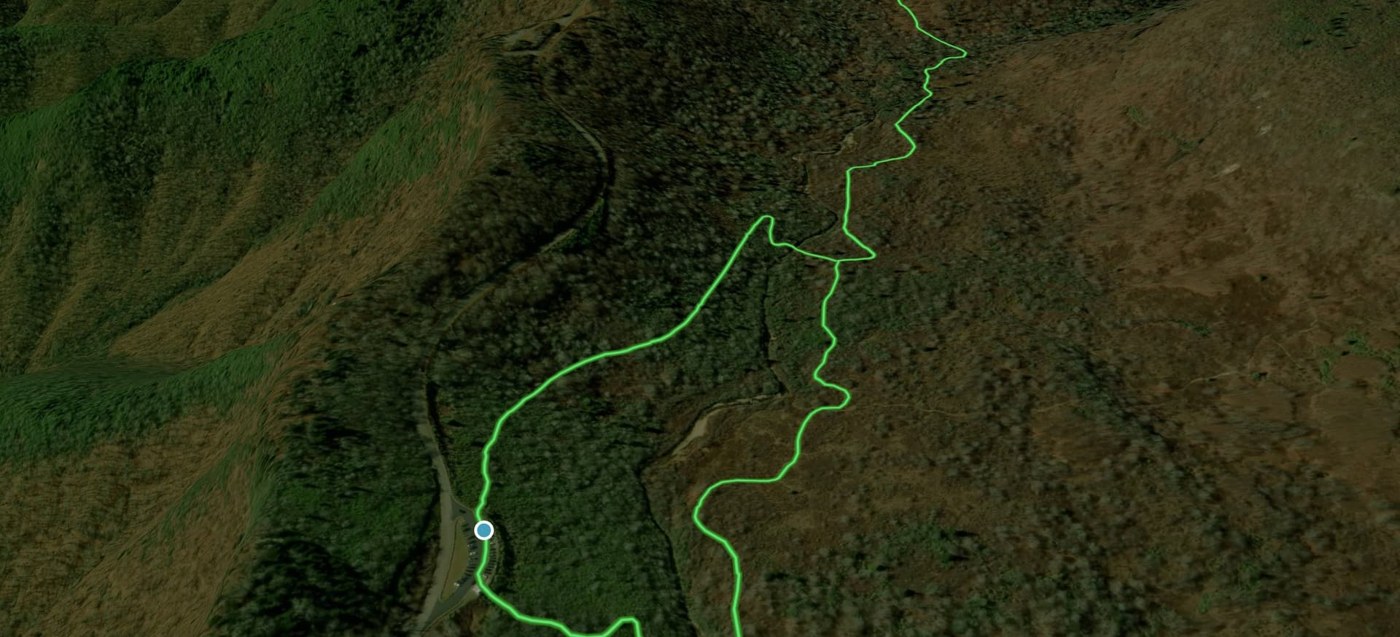
Open the trail on AllTrails and select Preview to play the 3D flyover. Access may depend on your AllTrails account.
Trail resources
- Open the route, map and community photo gallery on AllTrails
- Trail guide and access information
- Additional access or route information
Find more hikes in our Asheville Elevated Living AllTrails collection.
Explore Our Favorite Western NC Mountain Hikes
Scan the QR code or tap it to open the full Asheville Elevated Living collection on AllTrails.